Getting started in the mountains around Grenoble
Many people come to live in Grenble because it provides an easy access to mountain ranges, and even more people pass through Grenoble to reach ski resorts. While this is rarely an primary motivation for THOTH members, it certainly is great to discover this aspect of the region.
This page gives some basic and practical info on how to go there and to get started with mountain activities.
First hikes
Here are a few hiking suggestions. They are all accessible by bus from Grenoble.The Moucherotte (Vercors, just above the city). Start from Saint-Nizier-de-Moucherotte.
The St Enynard (Chartreuse, also just above the city). Start from the col de Vence.

To Chamechaude (Chartreuse). Start from Col de Porte.
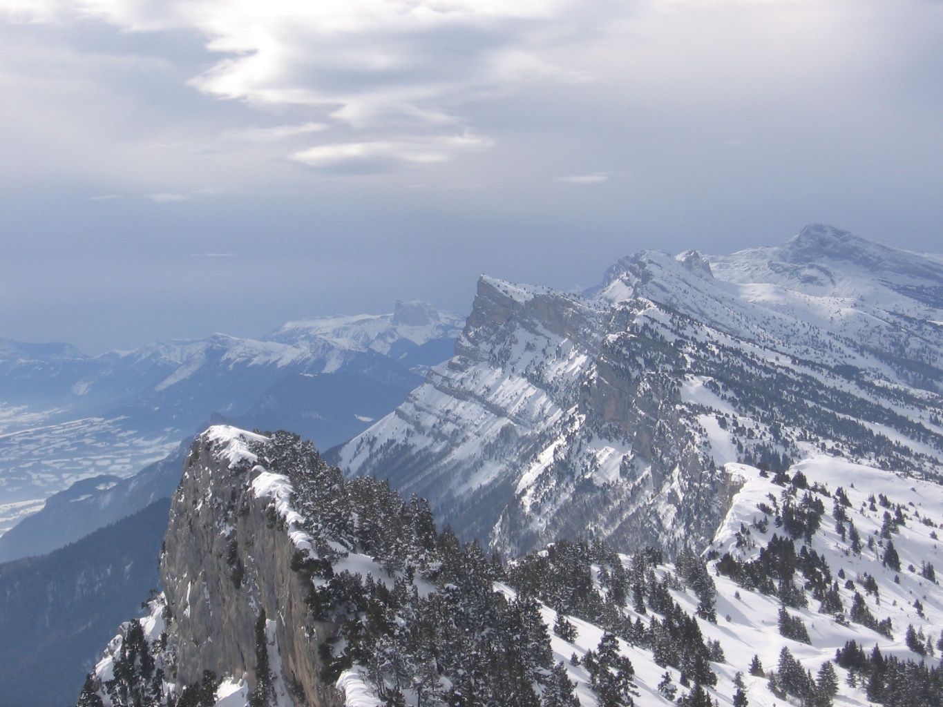
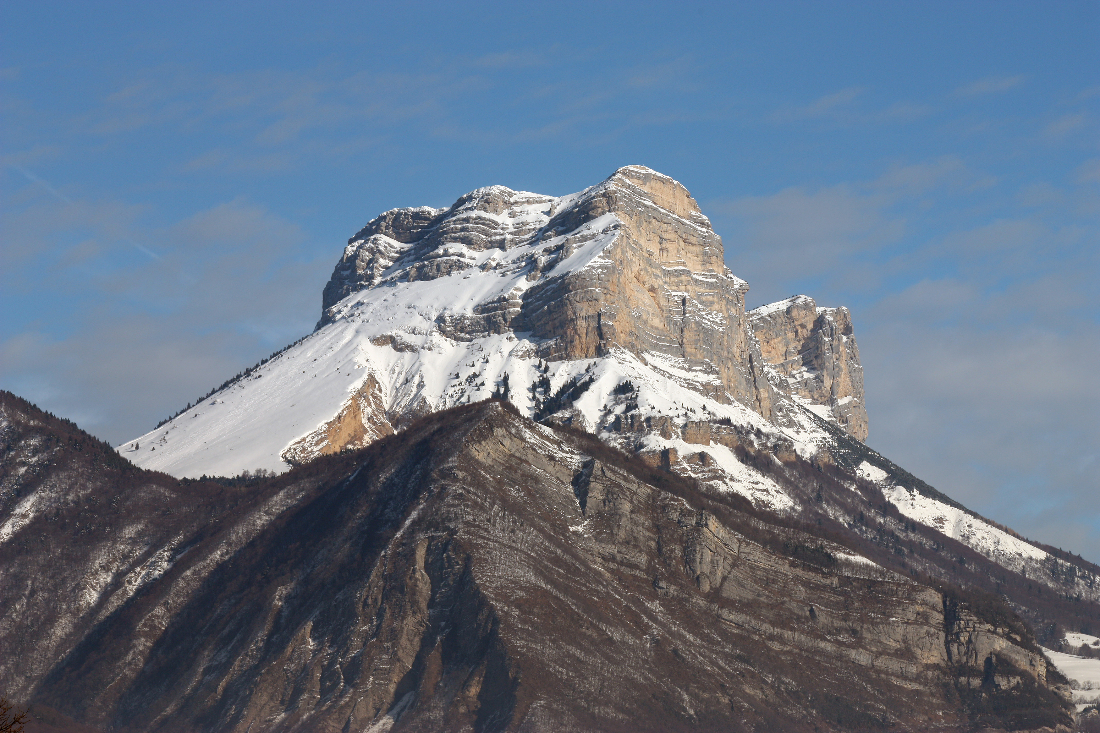
To Dent de Crolles, start from Col du Coq.
From Seglière to Chamrousse (Belledonne).
A bit of planning
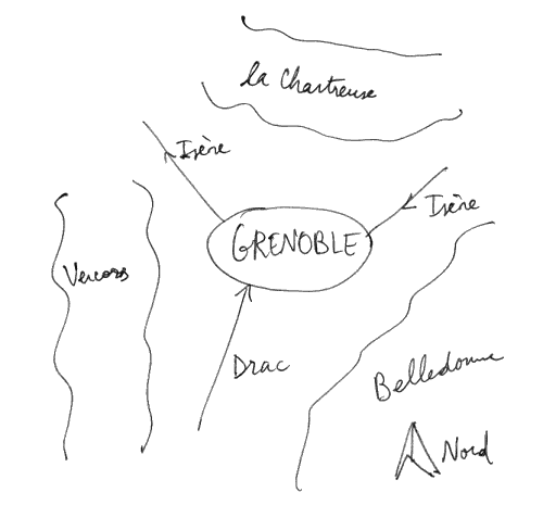
The region is called the "Y grenoblois", because the city is at the junction between 3 valleys that delimit 3 mountain ranges: from the South comes the Drac river, from the north-east the Isère, wich merge into a river (still called Isère) that flows to the north-west. The mountain ranges are: Chartreuse is North (max 2000 m), Vercors is West (max 2300 m), and Belledonne is East (max 2900 m). Grenoble itself is about 220m high.
Weather
The weather forecasts are available at: Meteofrance, Meteox or Calepin (French, by a local hobbyist).To evaluate whether there is fog or snow, it is helpfull to look at the webcams from ski resorts: search google for "webcam chamrousse"/"webcam st pierre de chartreuse"/"webcam autrans"/"webcam alpe d'huez"/"webcam 7 laux", etc. Also look out of your window :-)
Transportation
A car isBuying Gear
Shops with good quality / price ratio: Decathlon, Intersport.
More fancy and technical products and advice: Vieux Campeur, Espace montagne.
Hiking
Hiking is the activity that requires the least gear: a pair of confortable shoes, a hat and a plastic bottle with water are enough for a start.Maps
Hiking maps are made by the IGN, their scale is 1:25000 (4 cm ≡ 1 km), with 10m between the height lines. The paper version can be found in bookshops, Decathlon, etc. but are quite expensive (11 euro for areas of about 20 km-by-15 km). Hiking paths are indicated in red.They are also available on internet: go to Geoportail, click on the "Cartes (IGN)" image on the left, then on "Ma sélection de données", and remove the "photographies aériennes" layer. Then navigation is similar to Google maps, except that at higher zoom levels you get the hiking map.
THOTH resources: the relief map in the corridor and a few hiking maps donated by Jakob (ask him). INRIA resources: you can borrow snow shoes ("raquettes"), maps and hiking tents from AGOS.
Distances and heights
Unless you know better, assume that:- on a flat path, you walk 5 km per hour (and remember that paths usually don't go straight as the bird flies)
- on a steep path, you walk up 300 m per hour
- you will be tired after walking 1000 m up
- you drink 2 liters of water per day on a cloudy day, twice as much under the sun.
A few gidelines
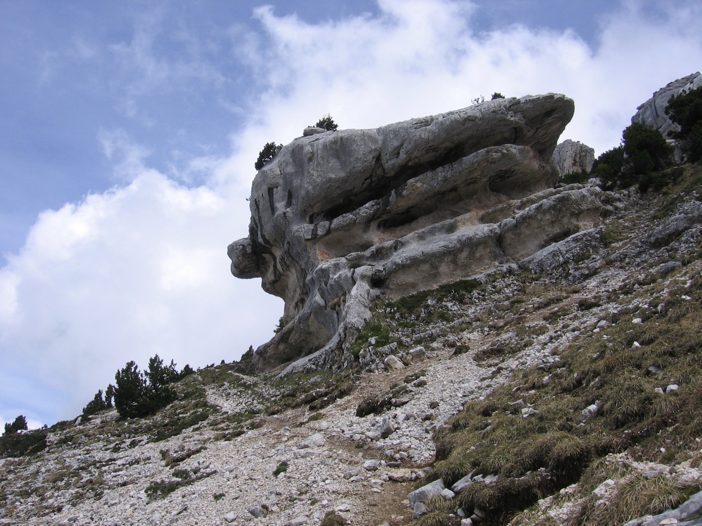
At the junction of hiking paths (in red on the map) there are yellow singposts that specify distances and sometimes walking times. Between these, paths are indicated with colored stripes (often yellow or white + red) painted on stones or trees.
Take your mobile phone with you, switched off (the spotty network coverage in the mountains drains the battery). The emergency number is 112. Mountain rescue is free (they will send a helicopter), but use it only in case of a vital emergency.
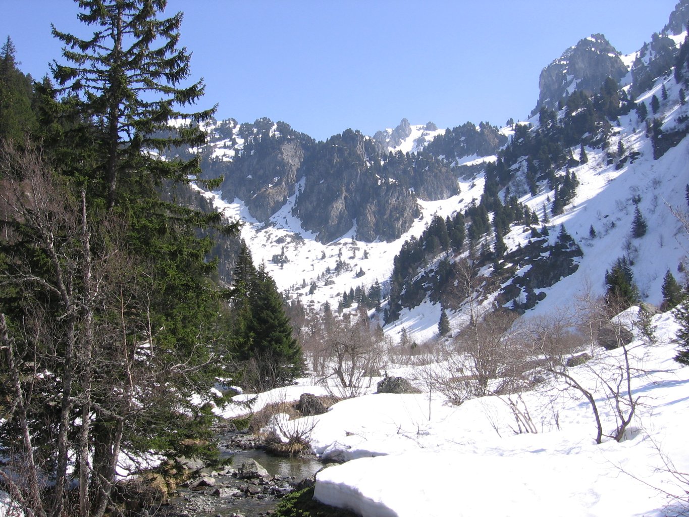
The water from wells and fountains ("source" on the map) is usually safe for drinking, better avoid rivers and melted snow. Water is scarce in the Vercors and Chartreuse, abundant in Belledonne.
Continuously re-evaluate your plan. If during the hike, the weather becomes worse or the path disappeared under thick vegetation, don't stick to the plan just because it is the plan.
Do not shortcut paths in much visited areas (like the meadow below the Dent de Crolles), as this increases erosion. Vegetation is most fragile between 1400 and 2200 m altitude.
Skiing
There are alpine ski resorts of all sizes and for all levels around Grenoble. They can be reached by special winter-season busses (see Transaltitude). Skis can be rented in Grenoble (see Decathlon for example) or at the foot of the slopes.One day of skiing ("forfait") costs between 25 and 50 euro, depending on the resort. Ski rental is about 20 euros.
Small ski resorts (like Lans-en-Vercors, le Sappey) are cheaper and friendlier for beginners. Larger ones (Alpe d'Huez, les Deux Alpes) have more than hundred of km of slopes. A color code indicates their difficulty, from easy to hard: green, blue, red, black.
The first hours or days of skiing can be painful.
If you are more serious about skiing and want information on ski touring routes, then skitour is the place to go.
Sightseeing
Some ski lifts are open all year round, brining you up effortlessly to amazing viewpoints.See for example: pic du lac blanc from Alpe d'Huez
A bit farter away: aiguille du midi from Chamonix.
More fun possibilities around Grenoble
Initial text by Matthijs Douze, with edits by Jakob Verbeek.